From Kings to Countrymen
Long term agricultural stability is important for any civilization. The manipulation of water resources using ancient irrigation structures has been an evolving advancement of traditional knowledge rendering it still essential and relevant. Several hydraulic engineering elements that have been used in reservoirs in Europe since the middle of the last century were first invented by ancient Sri Lankan engineers, more than 2000 years ago. This entire system has been tried and tested by time, and still stands to be sustainable technology that works in harmony with ecology.
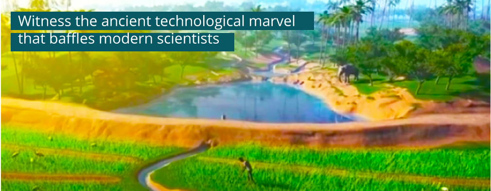
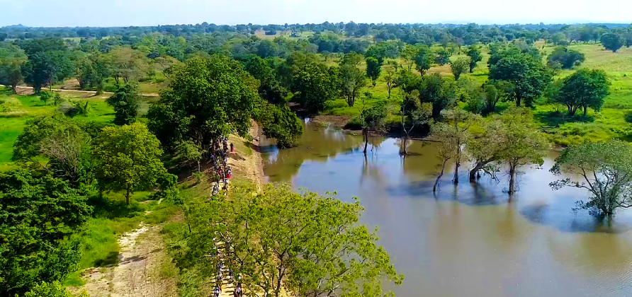
Multilayer eco-system Besides creating flourishing civilizations for millenniums, cascades have created micro-eco systems sustaining cooler, greener habitats, and have given life to a spectacle of biodiversity, agro-diversity and livelihood diversity on what would otherwise have been dry barren land.
Ecological Kidney This system is an ecological kidney, filtering heavy metals and minerals, allowing only clean and life-giving water to flow through as the water meanders through an oasis within an oasis supporting a unique micro-eco system.
Four Zones Cascades may be split into 4 distinct zones housing a set of unique engineering components or habitats. These include Tank Bund & Tank Bed, Protected Forest in the Catchment, Rain-fed Uplands and Hamlet or high elevation household area.
Sorowwa/ Bisokotuwa
(Sluice Gate)
The mechanism to release and regulate water released to paddy fields. There are 3 types of release gates: Godasorowwa (cistern/valve tower sluice gate), Madasorowwa (mud sluice gate), Keta sorowwa (pie/junction box sluice gate)
Diyaketapahana
(Water Level Indicator)
Installed close to the sluice gate, dam managers keep an eye on the indicator to control the in and outflow, ensuring the optimal safety of the system.
Ralapanawa
(Stone Liners)
Built as an embankment to prevent erosion caused by water waves, the wave breakers kept the dam safe.
Pitawana
(The Spills)
The feature was designed to remove excess water without damaging the tank bund.
Wewthaulla
(The Upper Inundation Zone)
Built to retain water during rainy season, Wewthaulla would be drained off during drought but not before putting the conserved water to good use.
Mankada
(Zone for Human Activity)
This is where the village came alive with the Mankada designed for different uses such as bathing (Nana Mankada) and collection of drinking water (Bona Diyamankada) and washing of animals (Bora Diyamankada).
Kattakaduwa
(The Interceptor)
This stretch between the tank bund and paddy fields functions to create, as what we call in modern science, phyto-remediation. This is the absorption of salts and heavy metals from seepage water. It also functions as a wind barrier and soil erosion preventer. This is mainly due to specific kinds of plants and trees growing in the area that purifies the water with their root systems and seeds.
Gasgommana
(The Tree Belt & Perahana)
The tree belt reduces evapotranspiration – when water is transferred from the land to the atmosphere by evaporation from the soil and by transpiration from plants. This happens due it acting as a wind-barrier, reducing the number of waves on the tanks. The water filter is self-explanatory; it acts as a purifier by retaining the sediments in run-off water. Sediment gets trapped in the shrubs and grass that grow on the perahena, the filtering zone. The gasgommana also acts as an alternate habitat for fish and other aquatic animals during high flood season.
Mukalana
(The Catchment Forest)
These forests were highly valued by the farming community and were only used to sustainably harvest Ayurvedic herbs. Its main function was to increase groundwater through infiltration and also gradually release water to the tank during the dry season.
Potawetiya
(The Check Dam & Iswetiya)
To prevent sediment flowing in from upper catchments, the potawetiyawas used to reduce the velocity of the water and also store excess water to be gradually released during the dry season. The iswetiya also blocks sediment which in turn reduces soil erosion.
Kuluwewa
(Godawala, the Waterhole)
The kuluwew’s central purpose is to trap silt and regulate the water flow to the main tank. This is usually a feature of larger tanks and they also exist as a beneficial source of water to the flora and fauna in the area. The waterholes acted as a drinking water source and also helped in buffering water levels downstream which reduced the risk of embankments breaking.
KuruluPaluwa
(The Bird Foraging Area)
This is strip of cultivated paddy dedicated for birds, while it may seem redundant, this space actually prevents birds from feeding on the main crop minimizing crop damage. This area also doubles as feeding ground for livestock, whose dung acts as a natural fertilizer, all tying in to the balance of the ecosystem.